


John Tolley, August 14, 2019
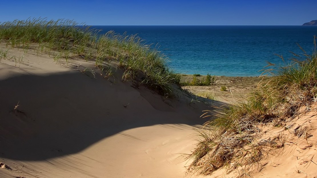
Outlining much of the coastline of Michigan?s Upper and Lower Peninsulas, sand dunes are an iconic part of the state?s geography. From beaches of St. Joseph?s at the Indiana border to the nationally-recognized and protected Sleeping Bear Dune on the western edge to the shores of Lake Huron, the state is home to the world?s largest collection of freshwater coastal dunes.
However, until recently little had been done to truly take stock of these mutable formations ground out over the ages by glaciers and lapping waves. Partnering with the Michigan Environmental Council, the Michigan State University Department of Geography undertook the most detailed mapping project of these dunes to date.
Speaking with MSU Today, department chair Alan Arbogast, who supervised the work, elaborated on the surprising scope of what his team found.
?We discovered there are over twice as many acres of dunes that actually exist compared to those previously mapped in the 1980s as ?critical dunes,? which are generally the larger, more prominent dunes that are regulated to some extent along the lakeshore. Our updated map fills an important knowledge gap and is a powerful new tool to support and enable future research, geographic analysis and community engagement.?
This new census of the dunes was compiled using a vast array of information, from aerial photographs to soil data all bolstered by field work.
The Michigan Environmental Council commissioned the work in an effort to raise public awareness of and elevate the conversation surrounding the protection of Michigan?s natural resources. With an accurate data set to inform public policy decision-making, activists and lawmakers have the resources to ensure that this vital ecosystem - and economic engine - remains a public good for the state and region.
To learn more and to read the full report, check out the Michigan Environmental Council website here.